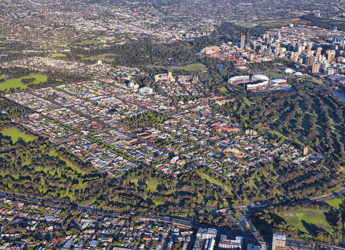
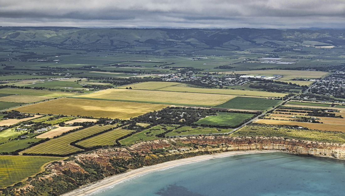
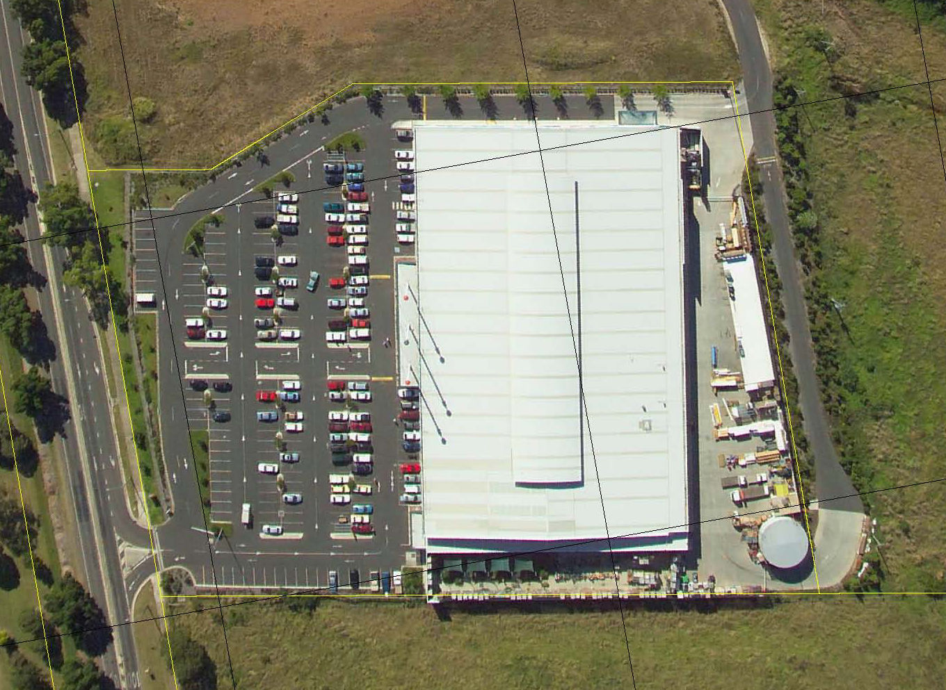
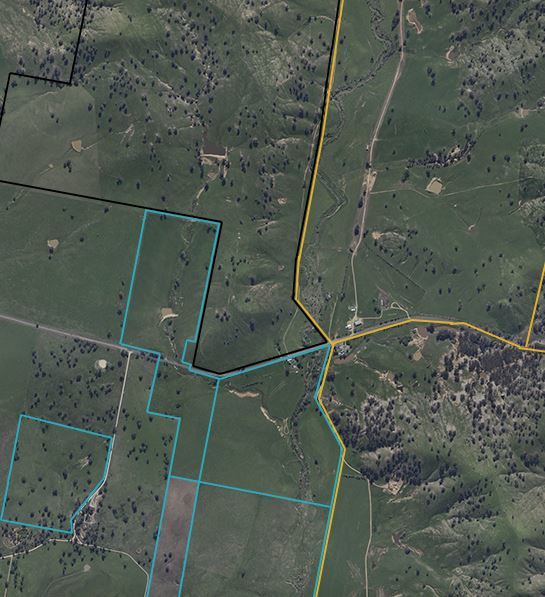
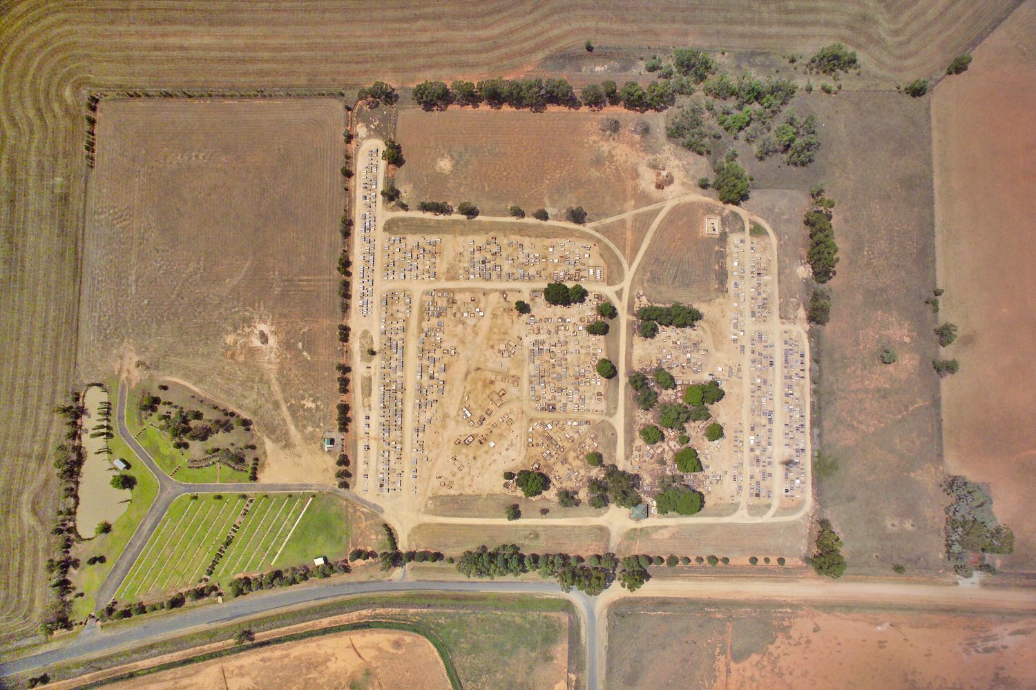
Aerial PhotographyAerial imagery provides at any point in time, a photograph ( data or record ), of the surface of the earth, and is used and relied on by all entities that manage or interact with the natural and built environments. Aerial imagery provides a common language to help communicate complex concepts or problems to developers, planners, decision makers and society at large. “Google Earth” is probably the best known example of these basic concepts.
Click for a Quote |
|
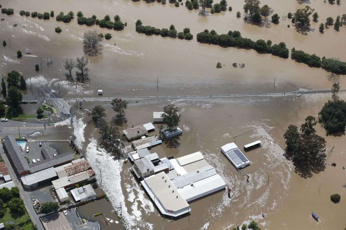
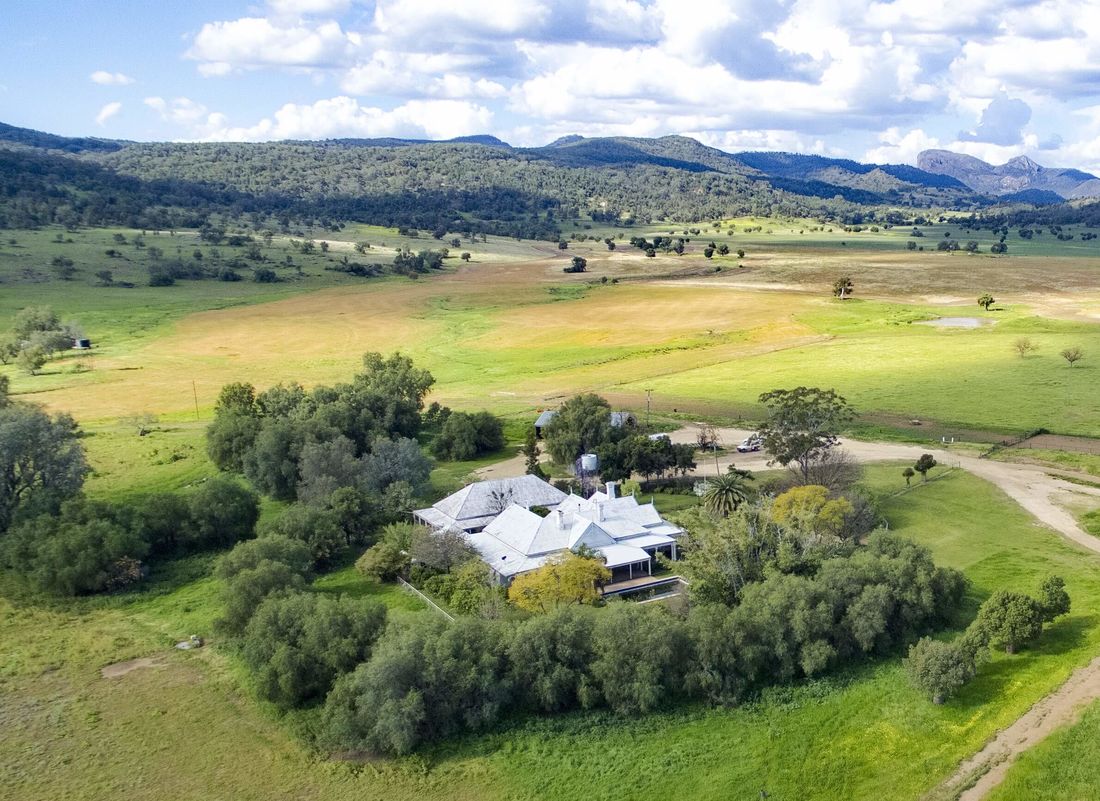
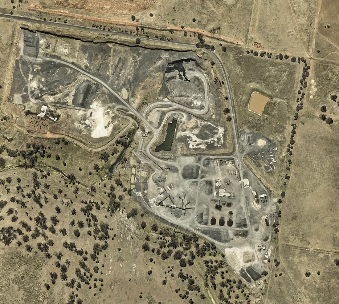
Some applications of aerial imagery include:
|
|